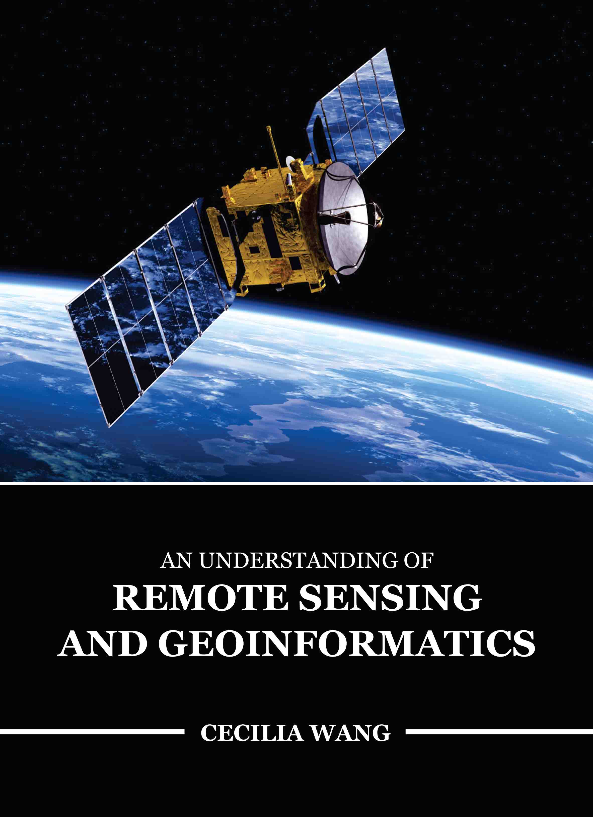
An Understanding of Remote Sensing and Geoinformatics
by Cecilia Wang
| ISBN | 9781835350546 |
|---|---|
| Publisher | EDTECH PRESS |
| Copyright Year | 2025 |
| Price | £150.00 |

by Cecilia Wang
| ISBN | 9781835350546 |
|---|---|
| Publisher | EDTECH PRESS |
| Copyright Year | 2025 |
| Price | £150.00 |
The book provides in-depth coverage of optical, thermal, and microwave remote sensing, global navigation satellite systems (such as GP$), digital photogrammetry, visual image analysis, digital image processing, spatial and attribute data model, geospatial analysis, and planning, implementation, and management of GIS after introducing the history and fundamental principles of remote sensing and GIS. Additionally, it offers contemporary GIS and remote sensing trends together with an illustrated overview of their many uses. The prerequisites needed to understand remote sensing and GIS technology are provided in the appendices. The fundamental concepts and methods of remote sensing, microwave remote sensing, mapping technology, remote sensing platforms and sensors, and data analysis methods are covered in this book. The book also covers topics related to the quality of GIS data, GIS data modelling and analysis, attribute data management, GIS data input and editing, and the integration and linking of Remote Sensing and GIS. The students who focused their research on geospatial technology will find these chapters to be of great use.