Remote Sensing Geography†
by Garrett Rodriguez
| ISBN | 9781836597698 |
|---|---|
| Publisher | EDTECH PRESS |
| Copyright Year | 2025 |
| Price | £168.00 |
by Garrett Rodriguez
| ISBN | 9781836597698 |
|---|---|
| Publisher | EDTECH PRESS |
| Copyright Year | 2025 |
| Price | £168.00 |
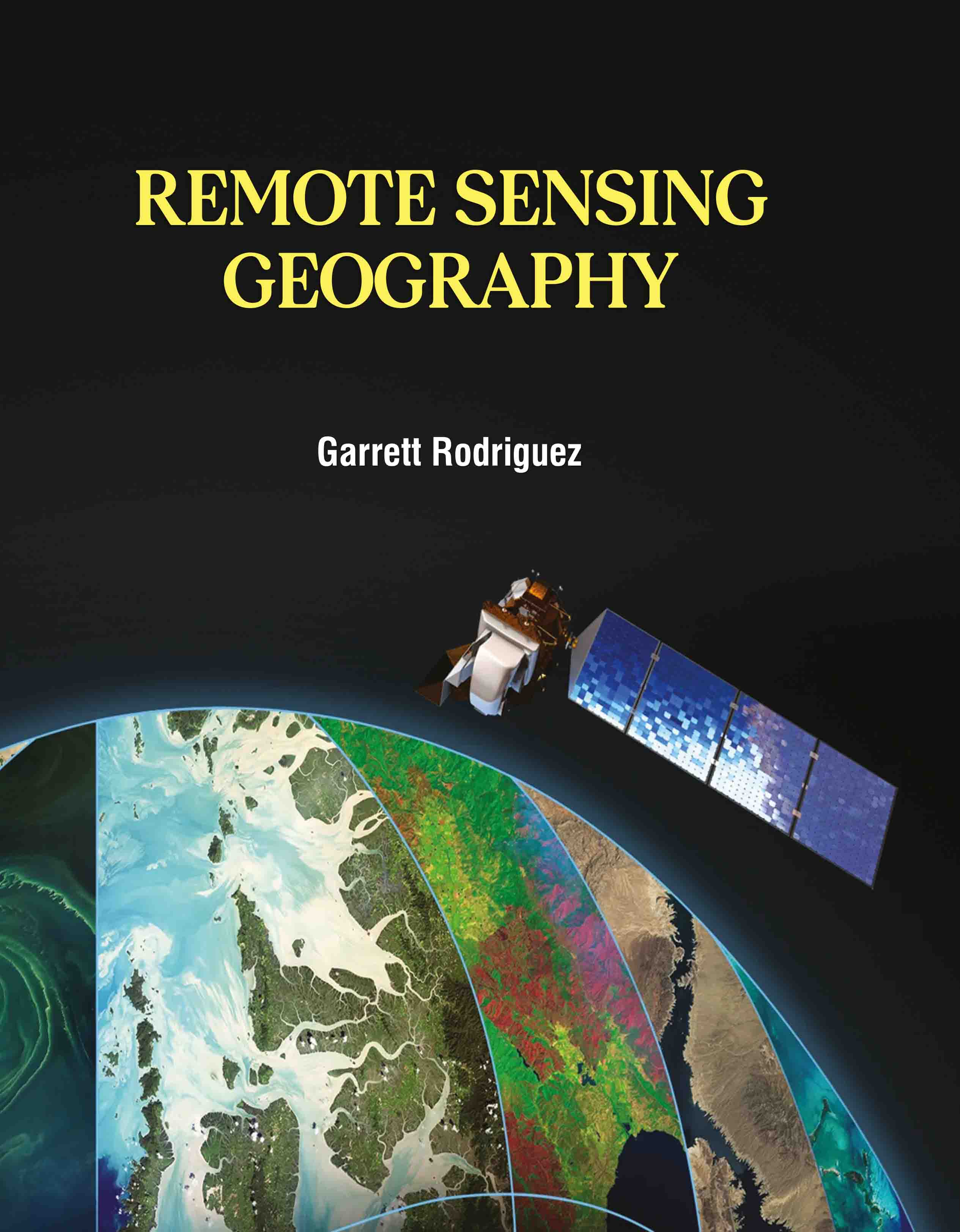
Remote Sensing Geography provides an extensive overview of remote sensing technology and its applications in geographical studies. This book covers the principles and methods of remote sensing, including the use of satellite imagery, aerial photography, and sensor technology to collect and analyze geographical data. It delves into the various types of remote sensing systems, such as optical, radar, and thermal sensors, and explains their relevance to geographical research. The book explores a range of applications, from land use and land cover mapping to environmental monitoring and disaster management. It illustrates how remote sensing can be utilized to assess natural resources, track environmental changes, and support urban planning and development. With a focus on practical techniques and real-world examples, "Remote Sensing Geography" equips readers with the skills needed to apply remote sensing data effectively in their own research or professional work. Ideal for students, researchers, and professionals in geography and environmental science, this book serves as a comprehensive guide to understanding and utilizing remote sensing technology for geographical analysis and problem-solving.