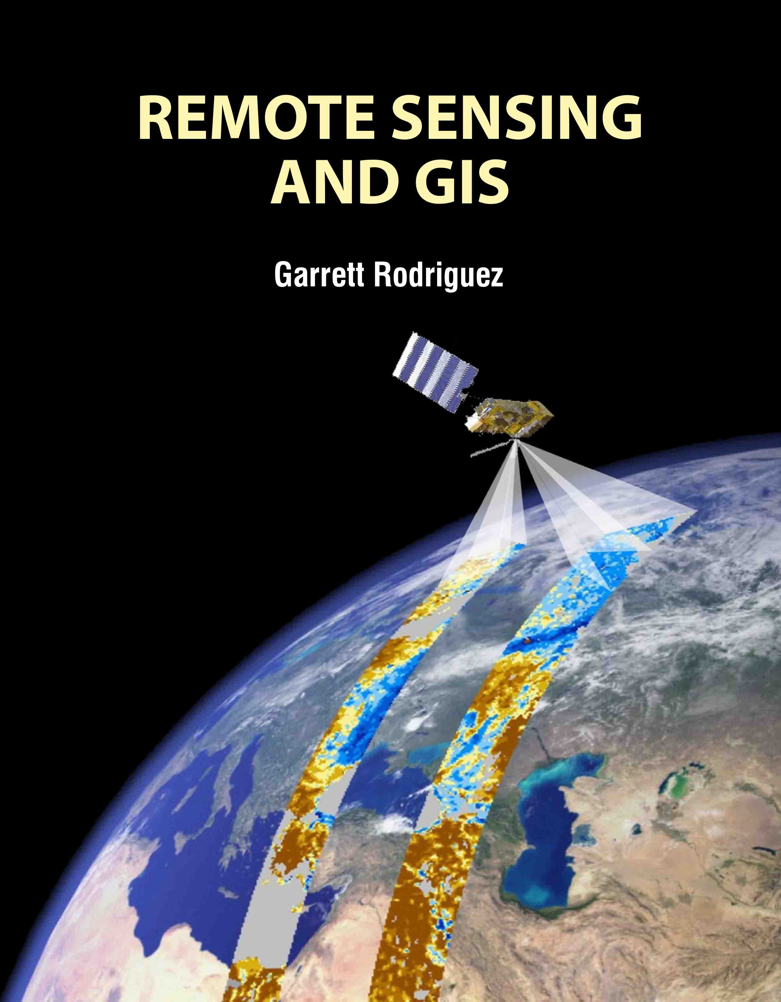
Remote Sensing and GIS
by Garrett Rodriguez
| ISBN | 9781836592204 |
|---|---|
| Publisher | EDTECH PRESS |
| Copyright Year | 2025 |
| Price | £170.00 |

by Garrett Rodriguez
| ISBN | 9781836592204 |
|---|---|
| Publisher | EDTECH PRESS |
| Copyright Year | 2025 |
| Price | £170.00 |
Remote Sensing and GIS is a comprehensive guide that integrates the principles and applications of remote sensing with geographic information systems (GIS). This book explores how these technologies work together to enhance spatial data analysis and decision-making. It covers fundamental concepts of remote sensing, including satellite imagery, sensor technologies, and data acquisition methods. The text delves into the principles of GIS, such as spatial data management, analysis techniques, and map creation, demonstrating how GIS can be used to visualize and interpret remote sensing data. It includes practical examples and case studies to illustrate how these tools are applied in various fields, including environmental monitoring, urban planning, and disaster management. Ideal for students, professionals, and researchers, this book provides a clear and detailed understanding of both remote sensing and GIS, highlighting their synergy in solving complex spatial problems. Its balanced approach to theory and practice makes it a valuable resource for mastering these essential technologies.