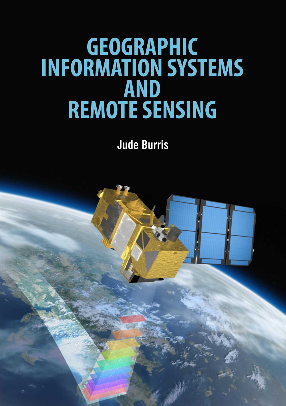
Geographic Information Systems and Remote Sensing Jude Burris
- ISBN: 9781788822053
- Edition: 1st
- ©Year: 2020
- List Price : 165
About the Book
Geographic information systems provide a method for integrating and analysing spatial information such as where is the nearest movie theatre? Alongside related nonspatial information. Geographic information systems have three major capabilities and can operate on a range of platforms. Remote sensing may be taken to mean the observation of, or gathering information about, a target by a device separated from it by some distance.The expression remote sensing was coined by geographers at the US Office of Naval Research in the 1960s at about the time that the use of spy satellites was beginning to move out of the military sphere and into the civilian sphere. Remote Sensing and Geographical Information System techniques are being widely used since last two decades, mainly by earth scientists, geologists, geographers, regional planners, environmentalists in the fields of mineral explorations, archaeological excavations, geographical and topographical analysis, terrain studies, urban planning, regional planning, natural resources management, natural disaster management etc. Remote sensing and Geographical Information System offers an abundant opportunity to monitor and manage natural resources at multitemporal, multi-spectral and multispatial resolution. This system is based on new tools and sources of information provided by modern technologies. The book offers a step-by-step appreciation of geographical information sciences as a discipline and geographic information system as a tool to understand the real world, to the one who strives to change the world in a better and more meaningful way.

