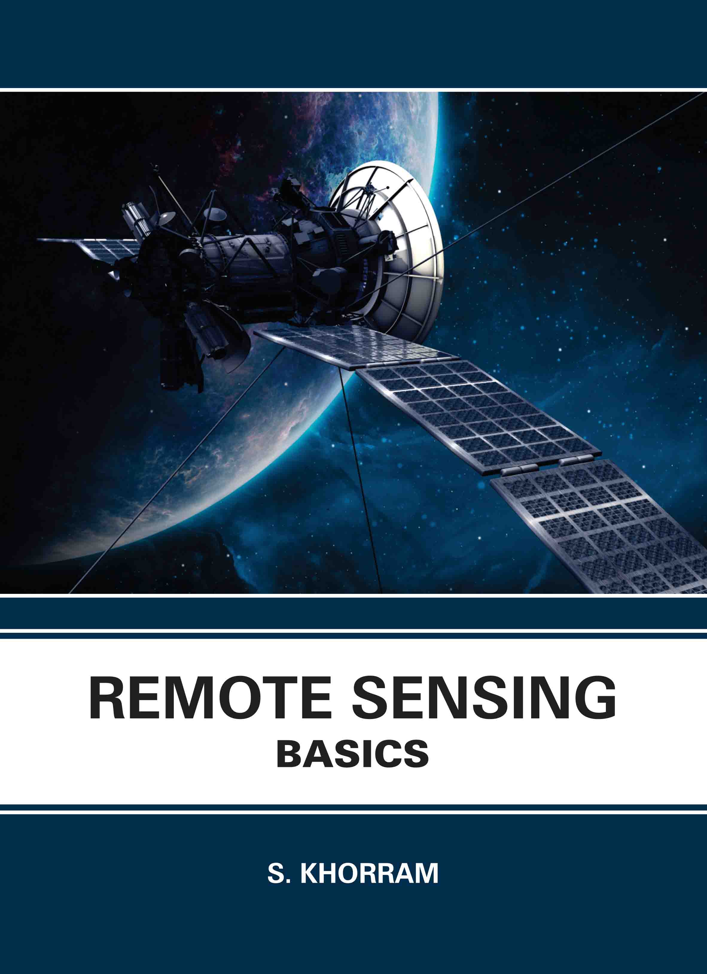
Remote Sensing: Basics
by S. khorram
| ISBN | 9781835352823 |
|---|---|
| Publisher | EDTECH PRESS |
| Copyright Year | 2025 |
| Price | £155.00 |

by S. khorram
| ISBN | 9781835352823 |
|---|---|
| Publisher | EDTECH PRESS |
| Copyright Year | 2025 |
| Price | £155.00 |
Remote sensing is the process of looking at or acquiring data about a location from a distance. These inspections may be conducted using equipment (such as cameras) mounted on the ground as well as sensors or cameras mounted on ships, aircraft, satellites, or other spacecraft. Today, computers are typically used to store and alter the data. The most popular remote sensing software includes ERMapper, MapInfo, ESRI, and ERDAS Imagine. The science and art of remote sensing involves gathering data (spectral, spatial, and temporal) about material items, areas, or phenomena without actually touching the things, areas, or phenomena being studied. Without physical contact, some method of information transmission via distance must be used. Electromagnetic radiation (EMR) is used in remote sensing to relay information. The monitoring of a parolee using an ultrasound identification system, Earth observation or weather satellite collection platforms, ocean and atmospheric observing weather buoy platforms, magnetic resonance imaging (MRI), Positron Emission Tomography (PET), X-ray (X-RAY), and space probes are all examples of remote sensing. The goals of those interested in this subject have been taken into consideration when designing this book. The book's thoroughness and depth should convince the reader that it is one they should read.